- Thumbnail
- Resource ID
- 517f7d7e-6f6a-11e9-8d7d-000d3ab6a624
- Title
- TM-VENEZUELA-Amenaza total
- Date
- May 5, 2019, 2:16 p.m., Publication
- Abstract
- El conjunto de datos contenidos en este archivo corresponde a la suma ponderada de las diferentes amenaza , en los objetos de conservación, en el área correspondiente al Mar Caribe venezolano hasta una latitud de trece grados norte.
- Edition
- --
- Owner
- gridanode
- Point of Contact
- devrsgis@gmail.com
- Purpose
- --
- Maintenance Frequency
- None
- Type
- not filled
- Restrictions
- None
- None
- License
- None
- Language
- eng
- Temporal Extent
- Start
- --
- End
- --
- Supplemental Information
- No information provided
- Data Quality
- --
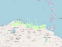
- Extent
-
- long min: -72.0349807739
- long max: -61.8263244629
- lat min: 10.0231990814
- lat max: 13.0201692581
- Spatial Reference System Identifier
- EPSG:900913
- Keywords
- no keywords
- Category
- None